Hillwalking was my first love in the outdoors world, I was indoctrinated at an early age by my parents (I believe Loughrigg Fell in the Lake District was my first ascent aged three). I've always particularly enjoyed multiday trips, there's something immensely satisfying to me about carrying all the gear I need to survive on my back while being in remote places. In the past I was a keen Munro bagger here in Scotland and also did some alpine mountaineering. Unfortunately carrying heavy loads on steep terrain took it's toll on my joints and a seriously painful left knee pretty much stopped me hillwalking in the early nineties. Since then I've sporadically returned to the hills, usually just for day walks and have been able to cope with that but I've always hankered for a return to my passion for combining wild camping with exploring remote hills. Years of cycling and walking at work combined with taking glucosamine supplements seem to have improved my knee injury so this winter inspired by internet accounts of backpacking with modern lightweight gear I began accumulating equipment with a view to making a return to the hills. I've always preferred winter hillwalking, the snow covered mountains just seem more majestic and challenging than they do in summer but being realistic winter walking requires more gear and weight so may be a challenge too far for my knee (whose durability remains to be seen).
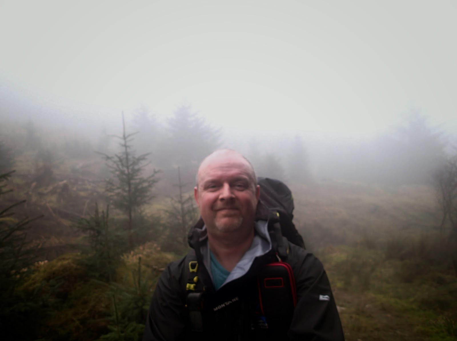
Last weekend (following a weather curtailed plan for a canoe sailing trip) I decided to get out and test my new kit (as well as my fitness and body!) The forecast was poor, low cloud, rain and drizzle meant that going high would give no chance of seeing anything so after a bit of map browsing I decided to try walking a relatively low level circuit around Ben Donich and the Brack, incorporating an overnight camp somewhere on the route.
I left the car at Ardgarten car park at lunchtime on Saturday and set off along the tarmac minor road which leads to Coilessan house and Loch Long. The rain was heavy and persistent as I set off necessitating waterproofs and as the road climbed up towards the forest track I began to seriously over heat. Soon after leaving the tarmac I turned right up Coilessan Glen.
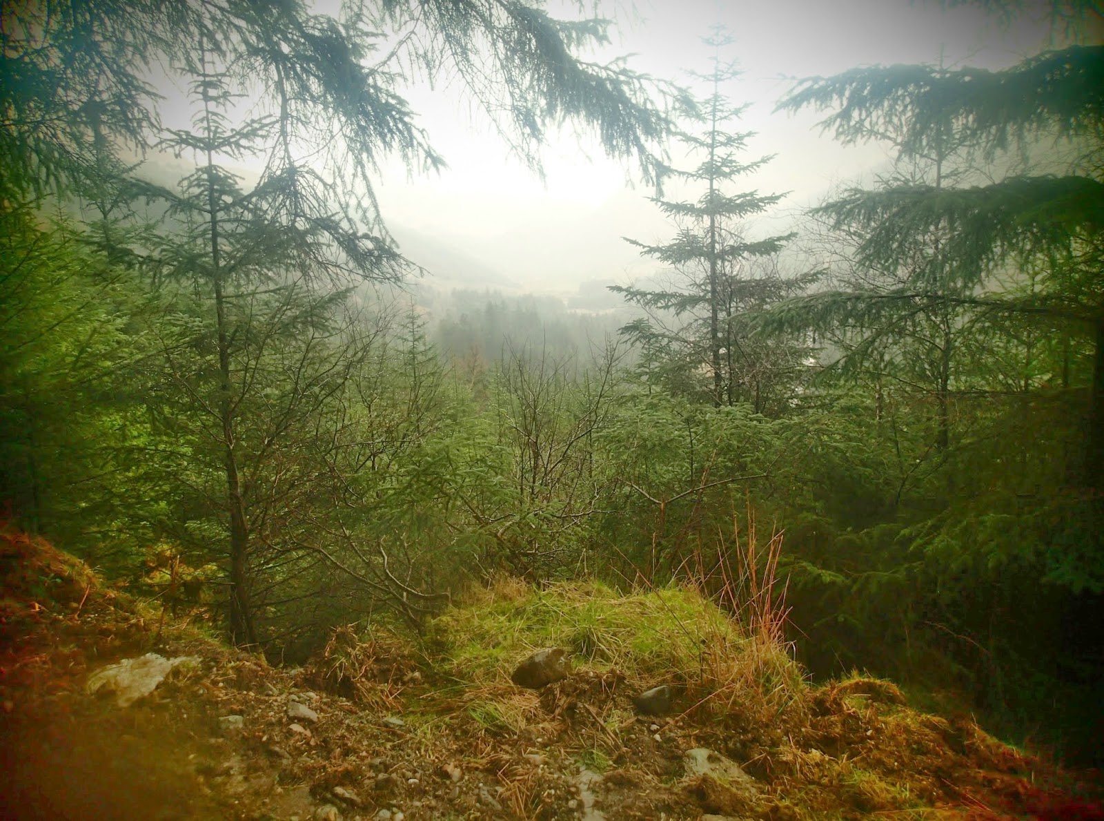
The cloud and mist hung heavily on the hills as I climbed and I knew I'd soon lose visibility. Higher up the glen I stopped briefly for a sandwich and to shed some clothing before leaving the forest road and taking to the hill track which kicked up steeply towards the hills above.
Soon I reached the stile which accessed the open hillside and the bealach between Coilessan Glen and the Lochgoilhead side of the peninsula. I'd been here a few times before so despite the poor viz I was able to navigate easily enough until I picked up the wooden marker poles which indicate the route.
As I dropped down the far side a dark line in the mist indicated the start of the forestry above Lochgoilhead and before long I crossed another stile as the path dropped down steeply towards Donich Water.
Once down the initial steep section, the path took on a charming character and even with the mist restricted views it provided an enjoyable stroll down to a bridge and series of waterfalls.
Next I joined the Ben Donich hill track for a while which climbed up steeply before turning off and taking a forest road which traversed round above Lochgoilhead towards the Rest and be thankful.
A long, gently descending track lead me to the foot of Glean Mor the valley that runs up from Lochgoilhead to the "Rest". I passed a couple of likely looking campsites on this section but I felt it was a little too early to stop so pushed on, a decision I was to rue later.
Next I started the long climb up Glean Mor on a forest road that I hoped would provide me with a spot for a decent overnight halt.
Unfortunately the track had been resurfaced and so all the lay byes that I'd imagined would provide a grassy, level site for my tent were covered in road stone. There was nothing for it but to continue on in the fading light in the hope of finding a decent spot. Eventually the zig zags that signify the top of the tarmac road up Glean Mor came into sight and I still hadn't found anywhere to stop.
As the last of light faded I turned downhill from the top of the "Rest" and set off down Glen Croe. At this point I had walked way past the halfway point that I'd intended stopping at so I began to contemplate completing the circuit and driving home that night. Fortunately at the last minute I came across a picnic area at the side of the track with just enough space to pitch my tent on the edge of a precipice. I was really tired so was delighted to stop, pitch the tent and make some food. My GPS told me that I'd walked 13.8 miles by the time I stopped.
After a hasty meal I got into my sleeping bag just in time as the heavens opened. It was a damp night with heavy rain at times and a lot of condensation in the tent.
Sunday morning dawned wet as well. I ate breakfast and struck camp during any slight lulls I detected in the downpour.
Then it was simply a matter of walking the remaining two and a half miles back to the car.
Here's my GPS track superimposed on a Google Earth image.


No comments:
Post a Comment